Blanchard Corridor Recreation Program
The purpose of the Blanchard Corridor Recreation Program is to raise awareness about and promote year-round outdoor recreation opportunities resulting from the combination of four interconnected components, including the Blanchard River Greenway, the Blanchard River Water Trail, River Parks, and the Blanchard River Greenway Trail, thereby creating a well-known and high profile outdoor recreation destination within the heart of Findlay.
The Blanchard River Greenway is a dominant natural feature that offers seasonal color, tranquility, and watchable wildlife, and links the Blanchard River Water Trail, River Parks, and the Blanchard River Greenway Trail together to provide year-round outdoor recreation opportunities, whether it’s canoeing or kayaking the waterway, walking or bicycling the tree-lined route, or picnicking along the bank. It is a presence that beckons the nature lover and outdoor recreation enthusiast and serves as a magnet for the passerby.

The 8 River Parks located along the Blanchard River Greenway that support outdoor recreation and offer the sights and sounds of nature include:
Eastpoint Area, Hancock Park District Administrative Offices, Waterfalls Area, Riverside Park Waterfront, Centennial Park, Great Karg Well Historical Site, and River Landings.
These accessible park locations also serve as a wayside, thus enticing the motorist or bicyclist to stop for a respite and relax whether it involves reading a book, eating lunch, or napping among nature’s conversation.
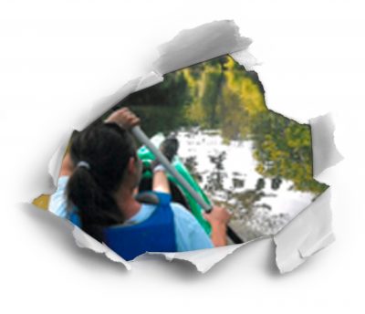
The 37.6-mile Blanchard River Water Trail flows from Blanchard River Nature Preserve through farmland, alongside parks and conservation areas, and through downtown Findlay to the rural confines of Liberty Landing and beyond to Blanchard Landing. Numerous access points along the way provide opportunities for short trips lasting an hour or two to half-day and day trips to a two-day trip with primitive tent camping along the Blanchard River. Canoeists and kayakers can bear witness to the Blanchard River’s many moods and experiences, embrace its relative isolation and solitude, and enjoy its natural beauty.
The designated BRGT route from east to west is as follows:
From Eastpoint Area, follow the trail west past the Hancock Park District Administrative Offices along East Main Cross Street to Waterfalls Area and beyond to McManness Avenue, turn right on McManness Avenue, cross the bridge, turn right into Riverside Park, and then turn right and follow the trail along the river.
From Riverside Park, follow the trail west to Centennial Park, go through the tunnel, follow the trail to Clinton Court, turn left, follow the trail to Taylor Street, turn left and follow the trail to Civitan park, turn right, and follow the trail to Main Street.
From Main Street, follow the trail north to Clinton Court (if bicycling, walk the bike or ride slowly in front of stores and be careful), cross Main Street at the traffic light, continue north to High Street, turn left, follow the trail past Cory Street and Swale Park to River Landings on Fox Street (trail to the right) where the BRGT ends.
The Blanchard River Greenway Trail (BRGT) occupies a section of the Blanchard River Greenway from Bright Road to Fox Street with a spur trail to Broad Avenue. The BRGT consists of a trail surface ranging from narrow concrete sidewalk to 10-foot wide multi-use asphalt trail – it’s an environment intermingled with the sights and sounds of urban life and nature, while offering a constant reminder that the Blanchard River is never too far away. The trail marks a route suitable for walking, jogging, and running. And while bicycling can occur on the trail, narrow concrete sidewalks may prove challenging when having to share the trail with others. Be cautious and courteous.
