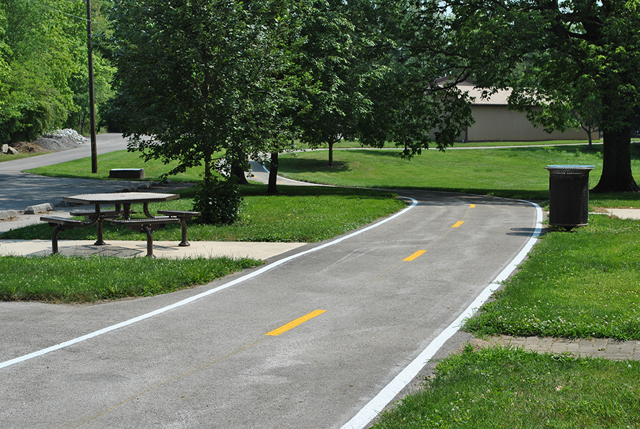
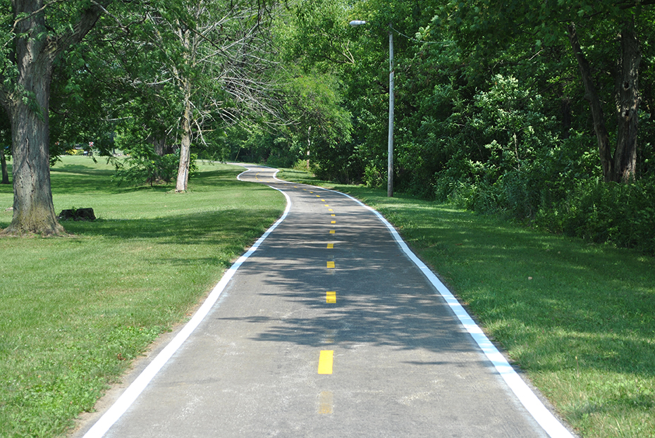
The Blanchard River Greenway Trail (BRGT) is characterized by multi-use asphalt trail sections connected by concrete sidewalks and roads. It is predominantly an urban greenway trail that links many community destinations, including parks and downtown Findlay.

The BRGT occupies a section of the Blanchard River Greenway from Bright Road to Fox Street with a trail connection to Broad Avenue and Township Road 89. The BRGT promotes and supports alternative transportation, outdoor recreation, and _tness activities. Certain sections of the BRGT are suitable for walking, jogging, in-line skating, skateboarding, and bicycling. Picnicking, wildlife watching, and river access for fishing and boating are prevalent along the BRGT.

The 7 River Parks located along the Blanchard River Greenway that support outdoor recreation and offer the sights and sounds of nature include: Eastpoint Area, Waterfalls Area, Riverside Park Waterfront, Centennial Park, Great Karg Well Historical Site, and River Landings, Hancock Park District Administrative Offices. 

These accessible park locations also serve as a wayside, thus enticing the motorist or bicyclist to stop for a respite and relax whether it involves reading a book, eating lunch, or napping among nature’s conversation.

The Blanchard River Greenway Trail (BRGT) occupies a section of the Blanchard River Greenway from Bright Road to Fox Street with a spur trail to Broad Avenue. The BRGT consists of a trail surface ranging from narrow concrete sidewalk to 10-foot wide multi-use asphalt trail – it’s an environment intermingled with the sights and sounds of urban life and nature, while offering a constant reminder that the Blanchard River is never too far away. The trail marks a route suitable for walking, jogging, and running. And while bicycling can occur on the trail, narrow concrete sidewalks may prove challenging when having to share the trail with others. Be cautious and courteous.

The designated BRGT route from east to west is as follows:

From Eastpoint Area: Follow the trail west past the Hancock Park District Administrative Offices along East Main Cross Street to Waterfalls Area and beyond to McManness Avenue, turn right on McManness Avenue, cross the bridge, turn right into Riverside Park, and then turn right and follow the trail along the river.
From Riverside Park, follow the trail west to Centennial Park, go through the tunnel, follow the trail to Clinton Court, turn left, follow the trail to Taylor Street, turn left and follow the trail to Civitan park, turn right, and follow the trail to Main Street.
From Main Street, follow the trail north to Clinton Court (if bicycling, walk the bike or ride slowly in front of stores and be careful), cross Main Street at the traffic light, continue north to High Street, turn left, follow the trail past Cory Street and Swale Park to River Landings on Fox Street (trail to the right) where the BRGT ends.